
Adaptation
Midnight Flood Crawl

All of the highest tides of the Spring 2025 flood season occurred at night. To highlight these climate hazards and engage volunteers in collecting data they might otherwise have missed, I organized a Midnight Flood Crawl. Over the course of the evening, we visited multiple flood monitoring sites in Portland, installing and photographing artwork by local artists.
The event made the front page of the paper!
Vulnerability Assessments

At the Gulf of Maine Research Institute, I contributed to Climate Vulnerability Assessments for Maine’s coastal communities by analyzing population vulnerability, evaluating the exposure of critical infrastructure to sea level rise, and translating findings into accessible formats, including reports, presentations, and fact sheets.
Southwest Harbor Vulnerability Assessment Fact Sheets:
Salt Marsh Monitoring
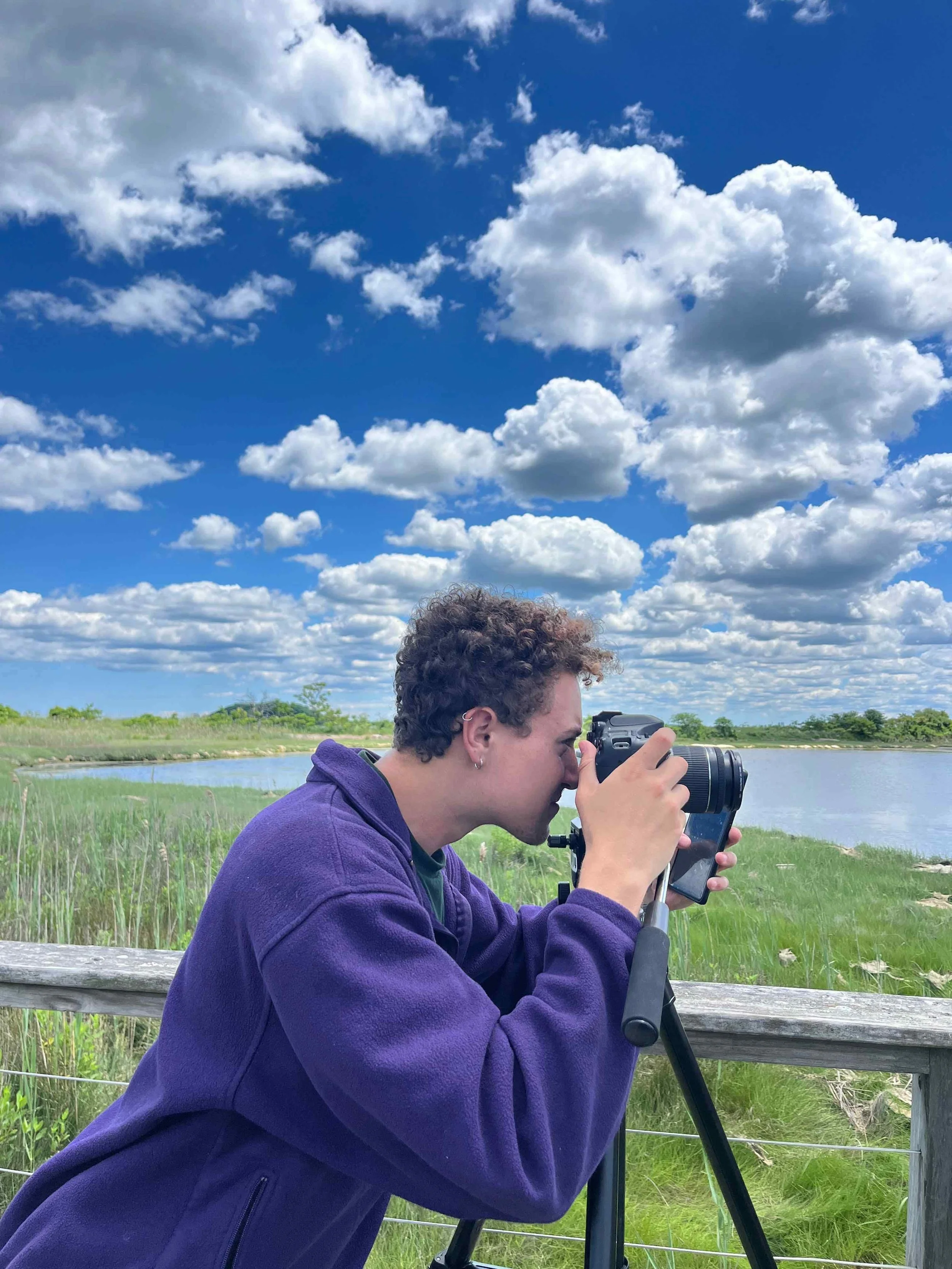
As a member of the Climate Conservation Corps, I co-designed a long-term monitoring project tracking salt marsh migration and ecosystem health across the Boston Harbor Islands. We set up photo points and mapped marsh boundaries to reveal how these marshes are responding to rising sea levels.
Check out this article I wrote about the project: